Geolocate

Pujon topographic map

Click on the map to display elevation.

About this map

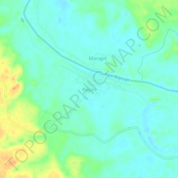
Name: Pujon topographic map, elevation, terrain.

Location: Pujon, Kapuas, Central Kalimantan, Kalimantan, Indonesia (-1.37088 114.34574 -1.33088 114.38574)

Average elevation: 89 ft

Minimum elevation: 49 ft

Maximum elevation: 194 ft

Gear up for your next adventure:

🛰️Handheld GPS Units - Professional satellite navigators for precise backcountry mapping
🔌USB Car Charger - Car charger for on‑the‑go power needs
🛏️Cold Weather Sleeping Bag - Warm sleeping bag for cold conditions
🧭Pro Hiking Compasses - High-accuracy liquid-filled compasses for topographic orientation
🔊Portable Camp Speaker - Music and alerts at camp

As an Amazon Associate, this site earns from qualifying purchases at no extra cost to you.