
Dunkeswell topographic map
Click on the map to display elevation.
About this map
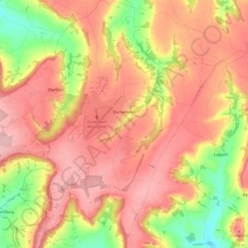
Name: Dunkeswell topographic map, elevation, terrain.
Location: Dunkeswell, East Devon, Devon, England, United Kingdom (50.82535 -3.25626 50.89504 -3.18187)
Average elevation: 715 ft
Minimum elevation: 361 ft
Maximum elevation: 938 ft
Other topographic maps
Click on a map to view its topography, its elevation and its terrain.