
Beckett's Creek topographic map
Interactive map
Click on the map to display elevation.
About this map
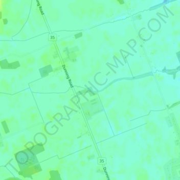
Name: Beckett's Creek topographic map, elevation, terrain.
Average elevation: 285 ft
Minimum elevation: 269 ft
Maximum elevation: 308 ft
Other topographic maps
Click on a map to view its topography, its elevation and its terrain.
Orléans
Canada > Ontario > Ottawa > Cumberland
Orléans, Cumberland, Ottawa, Eastern Ontario, Ontario, Canada
Average elevation: 217 ft
Cumberland
Canada > Ontario > Ottawa > Cumberland
Cumberland, Sheenboro Crescent, Fallingbrook, Orléans, Cumberland, Ottawa, Eastern Ontario, Ontario, K4A 3S1, Canada
Average elevation: 246 ft
Notting Gate
Canada > Ontario > Ottawa > Cumberland
Notting Gate, Cumberland, Ottawa, Ontario, Canada
Average elevation: 292 ft