Geolocate

Kedungan topographic map

Click on the map to display elevation.

About this map

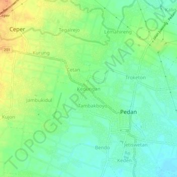
Name: Kedungan topographic map, elevation, terrain.

Location: Kedungan, Klaten, Central Java, Java, 57468, Indonesia (-7.70667 110.67412 -7.66667 110.71412)

Average elevation: 381 ft

Minimum elevation: 331 ft

Maximum elevation: 443 ft

Other topographic maps

Click on a map to view its topography, its elevation and its terrain.

Sanggrahan

Indonesia > Central Java > Klaten

Average elevation: 492 ft

Sungai

Indonesia > Central Java > Klaten > Nanggulan

Average elevation: 371 ft

Gear up for your next adventure:

📦Gear Storage Bags - Organize and protect outdoor equipment
🧥Waterproof Jacket for Hiking - Breathable and rugged rain jacket for outdoor excursions
🕶️Glacier Sunglasses - Side shields to protect eyes from high-altitude snow glare
🦺Reflective Outdoor Gear - Safety gear for low‑light conditions
🔦Powerful Headlamps - Ultra-bright hands-free lighting for night navigation

As an Amazon Associate, this site earns from qualifying purchases at no extra cost to you.