
Burke topographic map
Interactive map
Click on the map to display elevation.
About this map
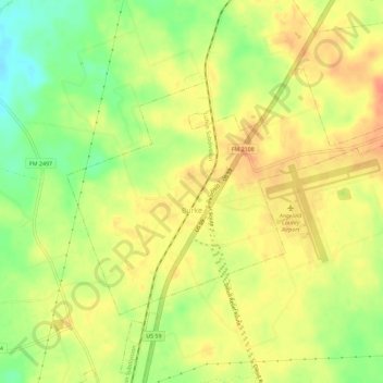
Name: Burke topographic map, elevation, terrain.
Location: Burke, Angelina County, Texas, United States (31.21851 -94.78723 31.24992 -94.73010)
Average elevation: 253 ft
Minimum elevation: 161 ft
Maximum elevation: 315 ft
Angelina County trails, hiking, mountain biking, running and outdoor activities