Geolocate

Ferrera topographic map

Click on the map to display elevation.

About this map

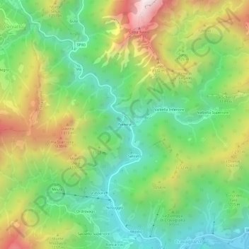
Name: Ferrera topographic map, elevation, terrain.

Location: Ferrera, Cravagliana, Vercelli, Piemonte, 13025, Italia (45.84720 8.16796 45.88720 8.20796)

Average elevation: 3,343 ft

Minimum elevation: 1,926 ft

Maximum elevation: 5,623 ft

Gear up for your next adventure:

🌎3D Topographic Globes - Raised relief globes for a tactile understanding of geography
🪑Ultralight Camp Chairs - Portable seating for resting after a long day of mapping
🧭Map Reading Tools - Tools and kits for map navigation
🎒Day Hiking Backpack - Lightweight backpack perfect for day trips and outdoor adventures
📶Satellite Messenger - Communication device off‑grid

As an Amazon Associate, this site earns from qualifying purchases at no extra cost to you.