Geolocate
👉 Easily get elevation data in JSON, GeoTIFF and KML formats using Elevation API
Thank you for supporting this site ❤️
Make a donation

Batasan topographic map

Click on the map to display elevation.

About this map

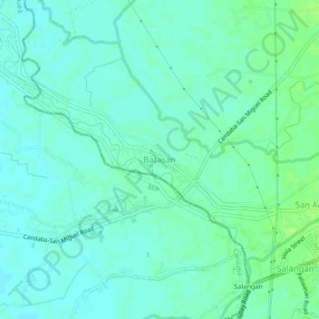
Name: Batasan topographic map, elevation, terrain.

Location: Batasan, San Miguel, Bulacan, Central Luzon, Philippines (15.12391 120.92097 15.16391 120.96097)

Average elevation: 43 ft

Minimum elevation: 26 ft

Maximum elevation: 62 ft

Gear up for your next adventure:

Solar GPS Watches - Advanced multisport watches with built-in topographic maps
🦶Carbon Trekking Poles - Reduce knee impact on steep descents with ultra-light poles
📡GPS Antenna Upgrade - Enhance GPS reception in remote terrain
Backpacking Tent - Lightweight and durable tent for multi‑day hikes
📻Weather Alert Radios - Stay informed of storm risks while off-the-grid

As an Amazon Associate, this site earns from qualifying purchases at no extra cost to you.