Geolocate

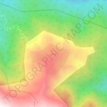
Filband topographic map

Click on the map to display elevation.

Filband

This village is located at an altitude of about 2,300 metres above sea level. Filband on the eastern side of Mazandaran is known as the roof of the province.

Wikipedia (CC-BY-SA 3.0)

About this map

Name: Filband topographic map, elevation, terrain.

Location: Filband, دهستان فیروزجاه, بخش بندپی شرقی, Babol County, Mazandaran Province, Iran (36.13388 52.50950 36.17388 52.54950)

Average elevation: 6,309 ft

Minimum elevation: 4,373 ft

Maximum elevation: 8,520 ft

Gear up for your next adventure:

📶Satellite Messenger - Communication device off‑grid
🪶Compact Camp Shovel - Folding shovel for campsite tasks
📱Heavy-Duty Phone Cases - Drop-proof and waterproof protection for outdoor navigation
🧼Biodegradable Camping Soap - Eco‑friendly soap for outdoor hygiene
🗺️NatGeo Topo Maps - High-quality waterproof printed topographic maps of US Parks

As an Amazon Associate, this site earns from qualifying purchases at no extra cost to you.