
Thank you for supporting this site ❤️
Make a donation
Make a donation
Gear up for your next adventure:
As an Amazon Associate, this site earns from qualifying purchases at no extra cost to you.
Joachín topographic map
Click on the map to display elevation.
Thank you for supporting this site ❤️
Make a donation
Make a donation
Gear up for your next adventure:
As an Amazon Associate, this site earns from qualifying purchases at no extra cost to you.
About this map
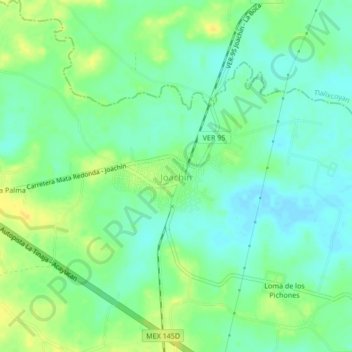
Name: Joachín topographic map, elevation, terrain.
Location: Joachín, Tierra Blanca, Veracruz, Mexico (18.61904 -96.25327 18.65904 -96.21327)
Average elevation: 118 ft
Minimum elevation: 85 ft
Maximum elevation: 161 ft
Thank you for supporting this site ❤️
Make a donation
Make a donation
Gear up for your next adventure:
As an Amazon Associate, this site earns from qualifying purchases at no extra cost to you.