
Piapot topographic map
Interactive map
Click on the map to display elevation.
About this map
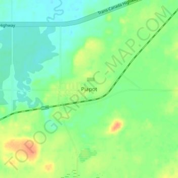
Name: Piapot topographic map, elevation, terrain.
Location: Piapot, Census Divsion No. 4, Saskatchewan, Canada (49.96982 -109.13778 50.00982 -109.09778)
Average elevation: 2,497 ft
Minimum elevation: 2,448 ft
Maximum elevation: 2,579 ft