Geolocate

Funtley topographic map

Click on the map to display elevation.

About this map

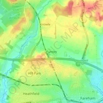
Name: Funtley topographic map, elevation, terrain.

Location: Funtley, Fareham, Hampshire, England, PO17 5ED, United Kingdom (50.85080 -1.22072 50.89080 -1.18072)

Average elevation: 92 ft

Minimum elevation: 0 ft

Maximum elevation: 220 ft

Gear up for your next adventure:

🗺️Topographic Maps - Detailed topo maps for hiking, exploring and outdoor navigation
🥘Titanium Cookware - Durable, featherlight pots and pans for backpacking
🕶️GPS Smartphone Mount - Secure mount for phone navigation
🦶Carbon Trekking Poles - Reduce knee impact on steep descents with ultra-light poles
🚪Portable Camp Chair - Foldable chair for comfort at camp

As an Amazon Associate, this site earns from qualifying purchases at no extra cost to you.