
Altweilnau topographic map
Click on the map to display elevation.
About this map
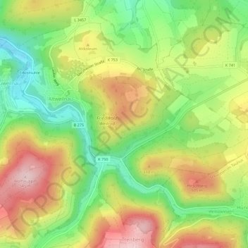
Name: Altweilnau topographic map, elevation, terrain.
Location: Altweilnau, Weilrod, Hochtaunuskreis, Hesse, Germany (50.29473 8.41109 50.32983 8.44952)
Average elevation: 1,378 ft
Minimum elevation: 984 ft
Maximum elevation: 1,818 ft