
Sour Lake topographic map
Interactive map
Click on the map to display elevation.
About this map
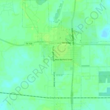
Name: Sour Lake topographic map, elevation, terrain.
Location: Sour Lake, Hardin County, Texas, United States (30.11671 -94.42434 30.15526 -94.38307)
Average elevation: 43 ft
Minimum elevation: 23 ft
Maximum elevation: 59 ft
Hardin County trails, hiking, mountain biking, running and outdoor activities