Geolocate

Springdale topographic map

Click on the map to display elevation.

About this map

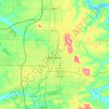
Name: Springdale topographic map, elevation, terrain.

Location: Springdale, Washington County, Arkansas, United States (36.13333 -94.25743 36.24840 -94.06796)

Average elevation: 1,306 ft

Minimum elevation: 1,106 ft

Maximum elevation: 1,670 ft

Washington County trails, hiking, mountain biking, running and outdoor activities

Other topographic maps

Click on a map to view its topography, its elevation and its terrain.

Durham

United States > Arkansas > Washington County

Average elevation: 1,348 ft

Sonora

United States > Arkansas > Washington County

Average elevation: 1,273 ft

Pinnacle

United States > Arkansas > Washington County

Average elevation: 1,181 ft

Wyman

United States > Arkansas > Washington County

Average elevation: 1,237 ft

Canehill

United States > Arkansas > Washington County

Average elevation: 1,463 ft

Savoy

United States > Arkansas > Washington County

Average elevation: 1,142 ft

Sunset

United States > Arkansas > Washington County

Average elevation: 2,060 ft

Strickler

United States > Arkansas > Washington County

Average elevation: 1,594 ft

Hogeye

United States > Arkansas > Washington County

Average elevation: 1,358 ft

Springdale

United States > Arkansas > Washington County > Springdale

Average elevation: 1,273 ft

Gear up for your next adventure:

🪶Fire Starter Kit - Reliable fire starter for survival and camping
🕶️Glacier Sunglasses - Side shields to protect eyes from high-altitude snow glare
Solar GPS Watches - Advanced multisport watches with built-in topographic maps
📱Solar Portable Charger - Solar power bank for charging devices off‑grid
🪵Folding Camp Saw - Compact saw for wood and campsite work

As an Amazon Associate, this site earns from qualifying purchases at no extra cost to you.