
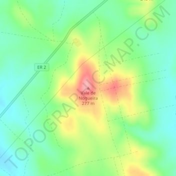
Vale de Nogueira topographic map
Interactive map
Click on the map to display elevation.
About this map
Name: Vale de Nogueira topographic map, elevation, terrain.
Location: Vale de Nogueira, Viana do Alentejo, Évora, 7090-096, Portugal (38.35867 -8.18170 38.35877 -8.18160)
Average elevation: 682 ft
Minimum elevation: 554 ft
Maximum elevation: 906 ft
Other topographic maps
Click on a map to view its topography, its elevation and its terrain.
Alcáçovas
Portugal > Évora > Viana do Alentejo
Alcáçovas, Viana do Alentejo, Évora, Portugal
Average elevation: 554 ft