
Moré topographic map
Interactive map
Click on the map to display elevation.
About this map
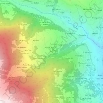
Name: Moré topographic map, elevation, terrain.
Location: Moré, Grand Buthier, Gignod, Vallée d'Aoste, Italie (45.76825 7.25365 45.80825 7.29365)
Average elevation: 4,629 ft
Minimum elevation: 2,703 ft
Maximum elevation: 7,680 ft