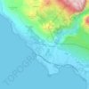
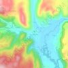
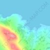
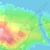
Božava topographic map
Click on the map to display elevation.
About this map

Name: Božava topographic map, elevation, terrain.
Location: Božava, Općina Sali, Zadar County, 23286, Croatia (44.12587 14.88590 44.15302 14.91369)
Average elevation: 121 ft
Minimum elevation: 0 ft
Maximum elevation: 525 ft
Other topographic maps
Click on a map to view its topography, its elevation and its terrain.
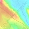


Bijela
Croatia > Zadar County > Grad Obrovac > Gornji Karin
Bijela is one of the smallest rivers in northern Dalmatia, flowing from east to west, and enters Karin Sea at Gornji Karin, a village belonging to the Town of Obrovac in the Zadar County. The spring of Bijela is located at an altitude of approximately 300 meters, below the Pržun mountain peak (351 meters…
Average elevation: 285 ft