
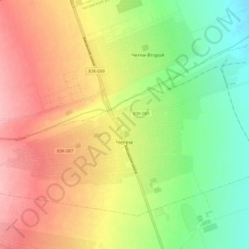
Chegem topographic map
Interactive map
Click on the map to display elevation.
About this map
Name: Chegem topographic map, elevation, terrain.
Average elevation: 1,532 ft
Minimum elevation: 1,306 ft
Maximum elevation: 1,762 ft
Chegem (Russian: Чеге́м; Kabardian: Шэджэм) is a town and the administrative center of Chegemsky District of the Kabardino-Balkar Republic, Russia, located 10 kilometers (6.2 mi) north of Nalchik, at the elevation of about 470 meters (1,540 ft). Population: 18,019 (2010 Census).