Geolocate

Mount Hotham topographic map

Click on the map to display elevation.

About this map

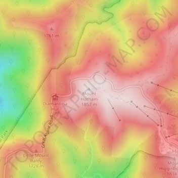
Name: Mount Hotham topographic map, elevation, terrain.

Location: Mount Hotham, Hotham Heights, Victoria, Australia (-36.97530 147.12820 -36.97520 147.12830)

Average elevation: 5,364 ft

Minimum elevation: 3,973 ft

Maximum elevation: 6,112 ft

Gear up for your next adventure:

🧥Men's Rain Shells - Premium waterproof and breathable jackets for mountain weather
🌧️Backpack Rain Cover - Keep gear dry in wet weather
🌎3D Topographic Globes - Raised relief globes for a tactile understanding of geography
🏥Hiking First Aid Kits - Comprehensive medical kits for remote trail injuries
🧭Map Reading Tools - Tools and kits for map navigation

As an Amazon Associate, this site earns from qualifying purchases at no extra cost to you.