
Sungai Air Jerangau topographic map
Interactive map
Click on the map to display elevation.
About this map
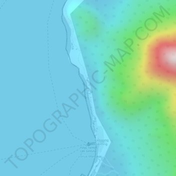
Name: Sungai Air Jerangau topographic map, elevation, terrain.
Location: Sungai Air Jerangau, Tioman, Rompin, Pahang, Malaysia (2.76999 104.12107 2.77014 104.12128)
Average elevation: 315 ft
Minimum elevation: 0 ft
Maximum elevation: 2,257 ft
Other topographic maps
Click on a map to view its topography, its elevation and its terrain.
Dragon's Horns (South Tower)
Dragon's Horns (South Tower), Tioman, Rompin, Pahang, Malaysia
Average elevation: 692 ft
Coral Island
Coral Island, Tioman, Rompin, Pahang, Malaysia
Average elevation: 13 ft