Geolocate

Ticlla topographic map

Click on the map to display elevation.

About this map

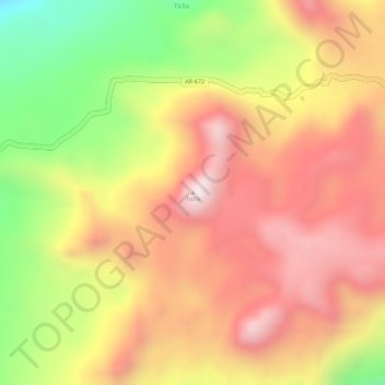
Name: Ticlla topographic map, elevation, terrain.

Location: Ticlla, Chachas, Province of Castilla, Arequipa, Peru (-15.41222 -72.20971 -15.41212 -72.20961)

Average elevation: 16,647 ft

Minimum elevation: 15,604 ft

Maximum elevation: 17,323 ft

Gear up for your next adventure:

🥤Water Filter Bottle - All‑in‑one filter bottle for safe hydration
🧯Portable Fire Pit - Compact fire pit for camping spots
📶Satellite Messenger - Communication device off‑grid
🛡️Insect Repellent - Protection against bugs during outdoor activities
📚Navigation Handbooks - Master the art of reading topographic maps and using a compass

As an Amazon Associate, this site earns from qualifying purchases at no extra cost to you.