
Frogholt topographic map
Click on the map to display elevation.
About this map
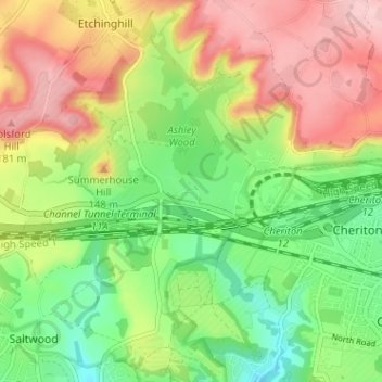
Name: Frogholt topographic map, elevation, terrain.
Average elevation: 305 ft
Minimum elevation: 43 ft
Maximum elevation: 617 ft
Other topographic maps
Click on a map to view its topography, its elevation and its terrain.
Stelling Minnis
United Kingdom > England > Kent > Folkestone and Hythe District
Average elevation: 443 ft
Elmsted
United Kingdom > England > Kent > Folkestone and Hythe District > Lymbridge Green
Average elevation: 472 ft
Greatstone beach
United Kingdom > England > Kent > Folkestone and Hythe District > New Romney > Littlestone on Sea
Average elevation: 7 ft
Paddlesworth
United Kingdom > England > Kent > Folkestone and Hythe District
Average elevation: 528 ft
St. Mary in the Marsh
United Kingdom > England > Kent > Folkestone and Hythe District
Average elevation: 7 ft
Monks Horton
United Kingdom > England > Kent > Folkestone and Hythe District
Average elevation: 341 ft