
Thank you for supporting this site ❤️
Make a donation
Make a donation
Gear up for your next adventure:
As an Amazon Associate, this site earns from qualifying purchases at no extra cost to you.
دنيب topographic map
Click on the map to display elevation.
Thank you for supporting this site ❤️
Make a donation
Make a donation
Gear up for your next adventure:
As an Amazon Associate, this site earns from qualifying purchases at no extra cost to you.
About this map
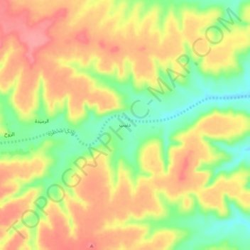
Name: دنيب topographic map, elevation, terrain.
Location: دنيب, Hajr as Sayar, Hadramaut Governorate, Jemen (16.17896 47.80054 16.21896 47.84054)
Average elevation: 3,967 ft
Minimum elevation: 3,809 ft
Maximum elevation: 4,088 ft
Thank you for supporting this site ❤️
Make a donation
Make a donation
Gear up for your next adventure:
As an Amazon Associate, this site earns from qualifying purchases at no extra cost to you.