
Skytop topographic map
Click on the map to display elevation.
Skytop
Skytop is an unincorporated community in Barrett Township, Monroe County, Pennsylvania, United States. Located north of Mountainhome, it is accessible by local roads off Route 390. Its elevation is 1,562 feet (476 m), and it is located at 41°13′40″N 75°14′18″W / 41.22778°N 75.23833°W / 41.22778; -75.23833 (41.2278683, -75.2382360). Although Skytop is unincorporated, it has a post office, with the ZIP code of 18357; the ZCTA for ZIP Code 18357 had a population of 87 at the 2000 census.
About this map
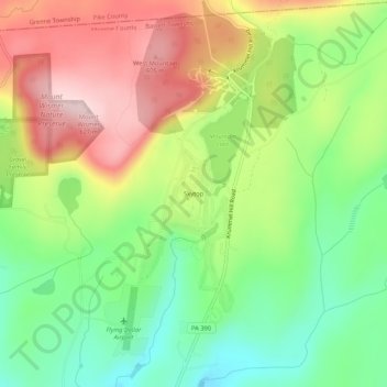
Name: Skytop topographic map, elevation, terrain.
Average elevation: 1,539 ft
Minimum elevation: 1,135 ft
Maximum elevation: 2,041 ft
Monroe County trails, hiking, mountain biking, running and outdoor activities