Geolocate

Northboro topographic map

Click on the map to display elevation.

About this map

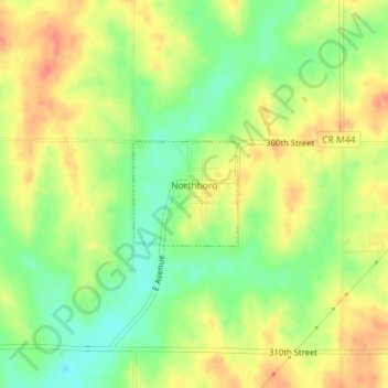
Name: Northboro topographic map, elevation, terrain.

Location: Northboro, Page County, Iowa, United States (40.60369 -95.29725 40.61100 -95.28765)

Average elevation: 1,086 ft

Minimum elevation: 1,001 ft

Maximum elevation: 1,161 ft

Page County trails, hiking, mountain biking, running and outdoor activities

Gear up for your next adventure:

🪶Fire Starter Kit - Reliable fire starter for survival and camping
📡Handheld GPS Device - Reliable handheld GPS for outdoor navigation
Solar GPS Watches - Advanced multisport watches with built-in topographic maps
💧Water Purification System - Clean water on the trail with reliable purifiers
🎒Hydration Pack - Hands‑free water reservoir for long hikes

As an Amazon Associate, this site earns from qualifying purchases at no extra cost to you.