Make a donation
Gear up for your next adventure:
As an Amazon Associate, this site earns from qualifying purchases at no extra cost to you.
Driebergen-Rijsenburg topographic map
Click on the map to display elevation.
Make a donation
Gear up for your next adventure:
As an Amazon Associate, this site earns from qualifying purchases at no extra cost to you.
About this map
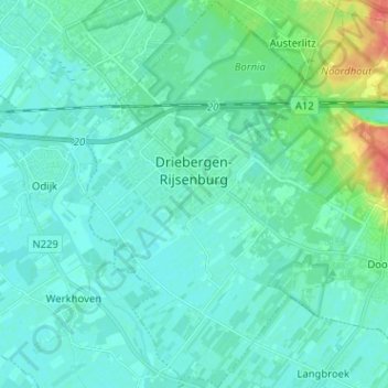
Name: Driebergen-Rijsenburg topographic map, elevation, terrain.
Location: Driebergen-Rijsenburg, Utrechtse Heuvelrug, Utrecht, Netherlands (52.00835 5.24699 52.08657 5.34173)
Average elevation: 26 ft
Minimum elevation: 0 ft
Maximum elevation: 157 ft
Make a donation
Gear up for your next adventure:
As an Amazon Associate, this site earns from qualifying purchases at no extra cost to you.
Other topographic maps
Click on a map to view its topography, its elevation and its terrain.
Make a donation
Gear up for your next adventure:
As an Amazon Associate, this site earns from qualifying purchases at no extra cost to you.
