Geolocate

Woodlawn topographic map

Click on the map to display elevation.

About this map

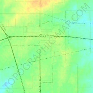
Name: Woodlawn topographic map, elevation, terrain.

Location: Woodlawn, Jefferson County, Illinois, United States (38.31627 -89.05027 38.33712 -89.02122)

Average elevation: 489 ft

Minimum elevation: 440 ft

Maximum elevation: 538 ft

Jefferson County trails, hiking, mountain biking, running and outdoor activities

Other topographic maps

Click on a map to view its topography, its elevation and its terrain.

Superior Lake

United States > Illinois > Jefferson County

Average elevation: 525 ft

Texico

United States > Illinois > Jefferson County

Average elevation: 548 ft

Gear up for your next adventure:

🛡️Insect Repellent - Protection against bugs during outdoor activities
🧭Outdoor Navigation Book - Learn advanced navigation skills
🥾Hiking Shoes - Durable and comfortable shoes for trail hiking
🧭GPS Watch Accessories - Bands and chargers for GPS watches
🗃️Trail First Aid Kit - Essential kit for outdoor injuries and emergencies

As an Amazon Associate, this site earns from qualifying purchases at no extra cost to you.