
Manna topographic map
Click on the map to display elevation.
About this map
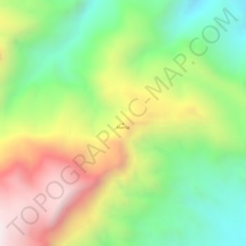
Name: Manna topographic map, elevation, terrain.
Location: Manna, Las Khorey District, Sanaag, Somalia (11.14786 48.45594 11.14796 48.45604)
Average elevation: 1,729 ft
Minimum elevation: 636 ft
Maximum elevation: 3,009 ft