
七坊镇 topographic map
Interactive map
Click on the map to display elevation.
About this map
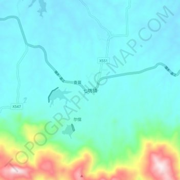
Name: 七坊镇 topographic map, elevation, terrain.
Location: 七坊镇, 白沙黎族自治县, 海南省, 中国 (19.25992 109.19574 19.33992 109.27574)
Average elevation: 778 ft
Minimum elevation: 351 ft
Maximum elevation: 2,756 ft
Other topographic maps
Click on a map to view its topography, its elevation and its terrain.