
牙叉镇 topographic map
Interactive map
Click on the map to display elevation.
About this map
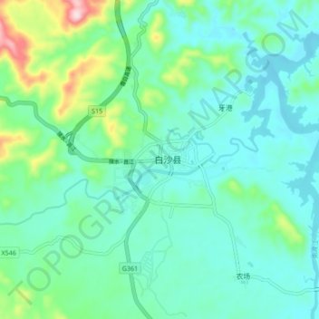
Name: 牙叉镇 topographic map, elevation, terrain.
Location: 牙叉镇, 白沙黎族自治县, 海南省, 中国 (19.18603 109.40540 19.26603 109.48540)
Average elevation: 778 ft
Minimum elevation: 564 ft
Maximum elevation: 1,594 ft
Other topographic maps
Click on a map to view its topography, its elevation and its terrain.