
雀儿山垭口/塔斯沟垭口 topographic map
Interactive map
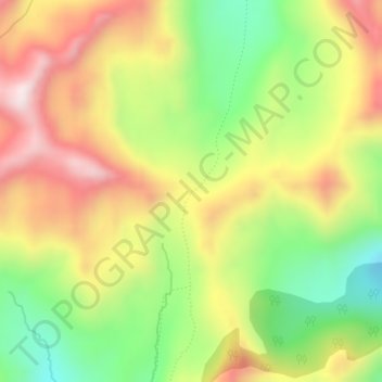
Click on the map to display elevation.
About this map
Name: 雀儿山垭口/塔斯沟垭口 topographic map, elevation, terrain.
Location: 雀儿山垭口/塔斯沟垭口, 木里藏族自治县, 凉山彝族自治州, 四川省, 中国 (28.10626 100.72075 28.10636 100.72085)
Average elevation: 14,104 ft
Minimum elevation: 13,245 ft
Maximum elevation: 14,987 ft
Other topographic maps
Click on a map to view its topography, its elevation and its terrain.