
New Providence topographic map
Click on the map to display elevation.
About this map
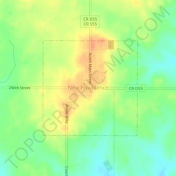
Name: New Providence topographic map, elevation, terrain.
Location: New Providence, Hardin County, Iowa, United States (42.27402 -93.18145 42.28860 -93.16185)
Average elevation: 1,079 ft
Minimum elevation: 1,017 ft
Maximum elevation: 1,142 ft
Hardin County trails, hiking, mountain biking, running and outdoor activities
Other topographic maps
Click on a map to view its topography, its elevation and its terrain.