Geolocate

Rodoretto topographic map

Click on the map to display elevation.

About this map

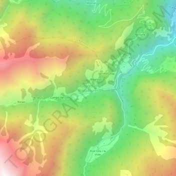
Name: Rodoretto topographic map, elevation, terrain.

Location: Rodoretto, Prali, Torino, Piemonte, Italia (44.89924 7.03252 44.93924 7.07252)

Average elevation: 5,440 ft

Minimum elevation: 3,301 ft

Maximum elevation: 8,045 ft

Gear up for your next adventure:

🗺️Topographic Maps - Detailed topo maps for hiking, exploring and outdoor navigation
🏕️Family Camping Gear - Essentials for group camping trips
Solar GPS Watches - Advanced multisport watches with built-in topographic maps
🔋Solar Power Banks - Keep your GPS and phone charged in remote wilderness areas
🦺Reflective Outdoor Gear - Safety gear for low‑light conditions

As an Amazon Associate, this site earns from qualifying purchases at no extra cost to you.