
Gölyayla topographic map
Interactive map
Click on the map to display elevation.
About this map
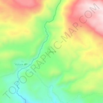
Name: Gölyayla topographic map, elevation, terrain.
Location: Gölyayla, Varto, Muş, Eastern Anatolia Region, Turkey (39.29950 41.15464 39.33950 41.19464)
Average elevation: 7,018 ft
Minimum elevation: 6,119 ft
Maximum elevation: 8,104 ft
Other topographic maps
Click on a map to view its topography, its elevation and its terrain.