
Sanlıca topographic map
Interactive map
Click on the map to display elevation.
About this map
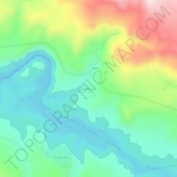
Name: Sanlıca topographic map, elevation, terrain.
Location: Sanlıca, Varto, Muş, Eastern Anatolia Region, Turkey (39.03259 41.61741 39.07259 41.65741)
Average elevation: 4,820 ft
Minimum elevation: 4,255 ft
Maximum elevation: 6,017 ft
Other topographic maps
Click on a map to view its topography, its elevation and its terrain.