Geolocate

Dadhera topographic map

Click on the map to display elevation.

About this map

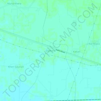
Name: Dadhera topographic map, elevation, terrain.

Location: Dadhera, Patiala Tahsil, Patiala District, Punjab, India (30.33814 76.27310 30.37814 76.31310)

Average elevation: 830 ft

Minimum elevation: 820 ft

Maximum elevation: 837 ft

Gear up for your next adventure:

🔪Outdoor Multitools - Essential survival tools for gear repair and field use
🪶Trail Camera - Capture wildlife on your hikes
🧢Sun Protection Hats - Wide-brimmed and UPF-rated hats for high-altitude sun safety
🗺️Topographic Maps - Detailed topo maps for hiking, exploring and outdoor navigation
Backpacking Tent - Lightweight and durable tent for multi‑day hikes

As an Amazon Associate, this site earns from qualifying purchases at no extra cost to you.