
Fletcher Hills topographic map
Click on the map to display elevation.
About this map
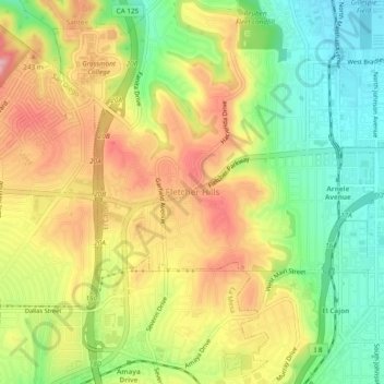
Name: Fletcher Hills topographic map, elevation, terrain.
Average elevation: 620 ft
Minimum elevation: 364 ft
Maximum elevation: 896 ft
San Diego County trails, hiking, mountain biking, running and outdoor activities
Other topographic maps
Click on a map to view its topography, its elevation and its terrain.
Flynn Springs County Park
United States > California > San Diego County > El Cajon > Flinn Springs
Average elevation: 1,083 ft