Geolocate

Mayascón topographic map

Click on the map to display elevation.

About this map

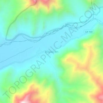
Name: Mayascón topographic map, elevation, terrain.

Location: Mayascón, Pítipo, Province of Ferreñafe, Lambayeque, Peru (-6.43271 -79.56461 -6.39271 -79.52461)

Average elevation: 1,319 ft

Minimum elevation: 581 ft

Maximum elevation: 3,340 ft

Other topographic maps

Click on a map to view its topography, its elevation and its terrain.

Monsefú

Peru > Lambayeque

Average elevation: 43 ft

Motupe

Peru > Lambayeque

Average elevation: 1,001 ft

Mórrope

Peru > Lambayeque

Average elevation: 66 ft

Chiclayo

Peru > Lambayeque

Average elevation: 92 ft

Monsefú

Peru > Lambayeque

Average elevation: 43 ft

Lambayeque

Peru > Lambayeque > Lambayeque

Average elevation: 79 ft

Pátapo

Peru > Lambayeque

Average elevation: 591 ft

Gear up for your next adventure:

📦Dry Bags Set - Waterproof storage for electronics and clothes
🕶️GPS Smartphone Mount - Secure mount for phone navigation
🧣Merino Neck Gaiters - Multi-functional headwear for wind and sun protection
GPS Sports Watch - GPS watch for running, hiking and training
🔋Solar Power Banks - Keep your GPS and phone charged in remote wilderness areas

As an Amazon Associate, this site earns from qualifying purchases at no extra cost to you.