
大村 topographic map
Interactive map
Click on the map to display elevation.
About this map
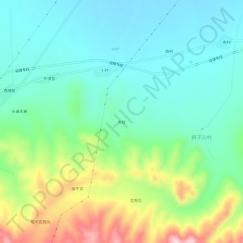
Name: 大村 topographic map, elevation, terrain.
Location: 大村, 卓资县, 乌兰察布市, 内蒙古自治区, 中国 (40.69774 112.52700 40.73774 112.56700)
Average elevation: 5,354 ft
Minimum elevation: 5,098 ft
Maximum elevation: 5,974 ft
Other topographic maps
Click on a map to view its topography, its elevation and its terrain.