
Thank you for supporting this site ❤️
Make a donation
Make a donation
Gear up for your next adventure:
As an Amazon Associate, this site earns from qualifying purchases at no extra cost to you.
Natanz topographic map
Click on the map to display elevation.
Thank you for supporting this site ❤️
Make a donation
Make a donation
Gear up for your next adventure:
As an Amazon Associate, this site earns from qualifying purchases at no extra cost to you.
About this map
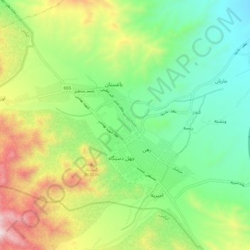
Name: Natanz topographic map, elevation, terrain.
Location: Natanz, دهستان کرکس, بخش مرکزی, شهرستان نطنز, Ispahan, Iran (33.47363 51.87401 33.55363 51.95401)
Average elevation: 5,758 ft
Minimum elevation: 4,514 ft
Maximum elevation: 8,035 ft
Thank you for supporting this site ❤️
Make a donation
Make a donation
Gear up for your next adventure:
As an Amazon Associate, this site earns from qualifying purchases at no extra cost to you.