
Drean topographic map
Interactive map
Click on the map to display elevation.
About this map
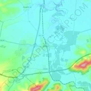
Name: Drean topographic map, elevation, terrain.
Location: Drean, Daïra Drean, El Tarf, 36200, Algérie (36.64518 7.66602 36.72573 7.77357)
Average elevation: 125 ft
Minimum elevation: 30 ft
Maximum elevation: 650 ft
Other topographic maps
Click on a map to view its topography, its elevation and its terrain.
Chihani
Algérie > El Tarf > Daïra Drean
Chihani, Daïra Drean, El Tarf, Algérie
Average elevation: 715 ft