
Make a donation
Gear up for your next adventure:
As an Amazon Associate, this site earns from qualifying purchases at no extra cost to you.
Finkenstraße topographic map
Click on the map to display elevation.
Make a donation
Gear up for your next adventure:
As an Amazon Associate, this site earns from qualifying purchases at no extra cost to you.
About this map
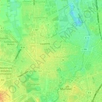
Name: Finkenstraße topographic map, elevation, terrain.
Average elevation: 200 ft
Minimum elevation: 148 ft
Maximum elevation: 249 ft
Make a donation
Gear up for your next adventure:
As an Amazon Associate, this site earns from qualifying purchases at no extra cost to you.
Other topographic maps
Click on a map to view its topography, its elevation and its terrain.
Aasee
Deutschland > Nordrhein-Westfalen > Münster
Heute ist der See Kernstück eines beliebten Naherholungsziels nahe dem Stadtzentrum. Am Aasee angesiedelt sind eine Jugendherberge, mehrere Studentenwohnheime, die Mensa am Aasee, der Sportpark Sentruper Höhe, der Allwetterzoo Münster mit dem Westfälischen Pferdemuseum Münster, das LWL-Museum für…
Average elevation: 213 ft
Make a donation
Gear up for your next adventure:
As an Amazon Associate, this site earns from qualifying purchases at no extra cost to you.