
Kanger topographic map
Click on the map to display elevation.
About this map
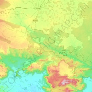
Name: Kanger topographic map, elevation, terrain.
Location: Kanger, Darbha Tahsil, Bastar, Chhattisgarh, 494442, India (18.77411 81.74953 18.94603 82.13283)
Average elevation: 1,808 ft
Minimum elevation: 748 ft
Maximum elevation: 3,901 ft