Geolocate

Ligas topographic map

Click on the map to display elevation.

About this map

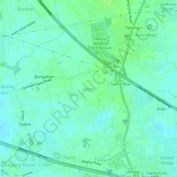
Name: Ligas topographic map, elevation, terrain.

Location: Ligas, Malolos, Bulacan, Central Luzon, 3015, Philippines (14.83910 120.83140 14.87910 120.87140)

Average elevation: 23 ft

Minimum elevation: 10 ft

Maximum elevation: 39 ft

Gear up for your next adventure:

🌡️Portable Weather Meter - Track weather conditions on the trail
🪵Folding Camp Saw - Compact saw for wood and campsite work
🪶Fire Starter Kit - Reliable fire starter for survival and camping
🧢Outdoor Hiking Hat - Sun protection hat for outdoor explorers
🔌Solar Panel Charger - Charge gear sustainably outdoors

As an Amazon Associate, this site earns from qualifying purchases at no extra cost to you.