Geolocate

Linlier topographic map

Click on the map to display elevation.

About this map

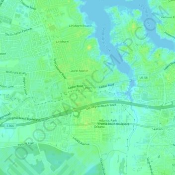
Name: Linlier topographic map, elevation, terrain.

Location: Linlier, Virginia Beach, Virginia, 23451, United States (36.83098 -76.03632 36.87098 -75.99632)

Average elevation: 20 ft

Minimum elevation: -7 ft

Maximum elevation: 46 ft

Other topographic maps

Click on a map to view its topography, its elevation and its terrain.

Gear up for your next adventure:

🔦Compact Flashlight - Reliable flashlight for emergencies
🛏️Cold Weather Sleeping Bag - Warm sleeping bag for cold conditions
📻Weather Alert Radios - Stay informed of storm risks while off-the-grid
🛡️Bear Spray Outdoor - Protection in bear country hikes
🛌Ultralight Sleeping Bags - Compact down bags for cold nights in the wilderness

As an Amazon Associate, this site earns from qualifying purchases at no extra cost to you.