
水定镇 topographic map
Interactive map
Click on the map to display elevation.
About this map
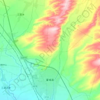
Name: 水定镇 topographic map, elevation, terrain.
Location: 水定镇, 霍城县, 伊犁哈萨克自治州, 新疆维吾尔自治区, 中国 (44.02713 80.85505 44.15897 80.95386)
Average elevation: 2,306 ft
Minimum elevation: 1,962 ft
Maximum elevation: 2,982 ft
Other topographic maps
Click on a map to view its topography, its elevation and its terrain.