
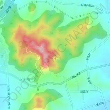
阿掖山 topographic map
Interactive map
Click on the map to display elevation.
About this map
Name: 阿掖山 topographic map, elevation, terrain.
Location: 阿掖山, 日照市, 山东省, 276800, 中国 (35.11986 119.34226 35.11996 119.34236)
Average elevation: 331 ft
Minimum elevation: 56 ft
Maximum elevation: 997 ft
Other topographic maps
Click on a map to view its topography, its elevation and its terrain.