
Thank you for supporting this site ❤️
Make a donation
Make a donation
Gear up for your next adventure:
As an Amazon Associate, this site earns from qualifying purchases at no extra cost to you.
Ennasr topographic map
Click on the map to display elevation.
Thank you for supporting this site ❤️
Make a donation
Make a donation
Gear up for your next adventure:
As an Amazon Associate, this site earns from qualifying purchases at no extra cost to you.
About this map
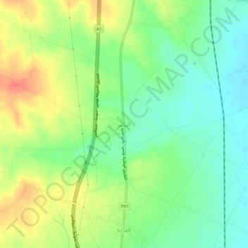
Name: Ennasr topographic map, elevation, terrain.
Location: Ennasr, Délégation El Hencha, Gouvernorat Sfax, 3043, Tunisie (34.94172 10.72519 34.98172 10.76519)
Average elevation: 322 ft
Minimum elevation: 243 ft
Maximum elevation: 433 ft
Thank you for supporting this site ❤️
Make a donation
Make a donation
Gear up for your next adventure:
As an Amazon Associate, this site earns from qualifying purchases at no extra cost to you.