
Thank you for supporting this site ❤️
Make a donation
Make a donation
Gear up for your next adventure:
As an Amazon Associate, this site earns from qualifying purchases at no extra cost to you.
Bassi topographic map
Click on the map to display elevation.
Thank you for supporting this site ❤️
Make a donation
Make a donation
Gear up for your next adventure:
As an Amazon Associate, this site earns from qualifying purchases at no extra cost to you.
About this map
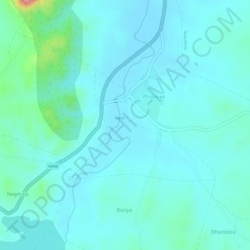
Name: Bassi topographic map, elevation, terrain.
Location: Bassi, Jhadol Tehsil, Udaipur District, Rajasthan, India (24.23444 73.37080 24.24650 73.38796)
Average elevation: 1,778 ft
Minimum elevation: 1,703 ft
Maximum elevation: 2,162 ft
Thank you for supporting this site ❤️
Make a donation
Make a donation
Gear up for your next adventure:
As an Amazon Associate, this site earns from qualifying purchases at no extra cost to you.