Geolocate

Sankri topographic map

Click on the map to display elevation.

About this map

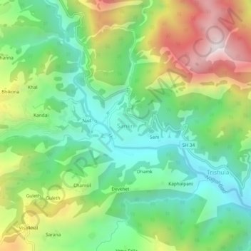
Name: Sankri topographic map, elevation, terrain.

Location: Sankri, Pokhari, Chamoli district, Uttarakhand, India (30.33786 79.21570 30.37786 79.25570)

Average elevation: 4,721 ft

Minimum elevation: 3,392 ft

Maximum elevation: 7,037 ft

Gear up for your next adventure:

🌡️Handheld Weather Meters - Measure wind, temp, and pressure for safe mountain travel
📱Heavy-Duty Phone Cases - Drop-proof and waterproof protection for outdoor navigation
🧭Map Reading Tools - Tools and kits for map navigation
🔥Camping Stove - Portable stove for camping and backcountry cooking
🛡️Bear Spray Outdoor - Protection in bear country hikes

As an Amazon Associate, this site earns from qualifying purchases at no extra cost to you.